
As an archaeologist, it seems inevitable that one ends up spending one’s holidays exploring heritage. Preferably in combination with hiking and other outdoor activities, and in the company of others who enjoy the same. This summer, I had the pleasure of hiking Hadrian’s Wall in northern England with a family member. This proved to be an exciting opportunity to compare my impression of how the heritage is communicated with that of a non-heritage professional.
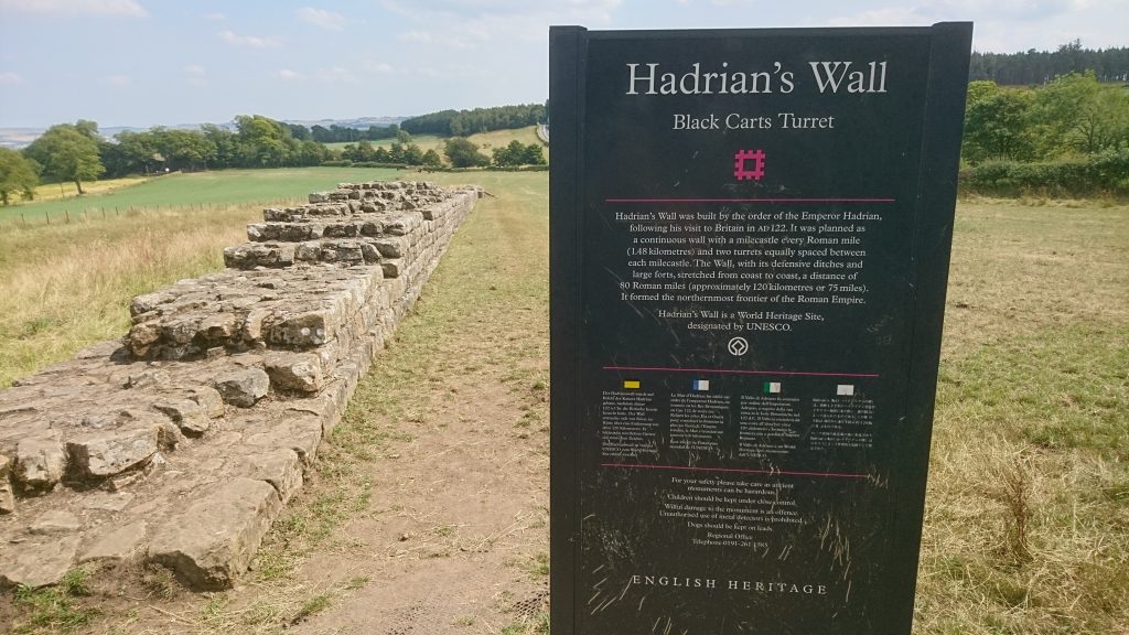
Hadrian’s Wall is inscribed on UNESCO’s World Heritage List. It was built around AD 122 by the emperor Hadrian, and is an impressive stone wall that stretches from the mouth of the River Tyne in the east to Solway Firth in the west, more than 130 km. When it was finished, it consisted of a high wall with a ditch and forts, towers and garrisons at regular intervals. Today many sections of the Wall are gone, while others have been rebuilt at a later date.
We started our journey near Brampton in Cumbria, and hiked for three days before ending up at Chollerford in Northumberland. We stopped at the garrison at Birdoswald and spent half a day at the Vindolanda museum and excavations. The communication strategy at the Wall is thorough. Most features such as towers have signs with illustration of what it would have looked like in AD 122, and information about the construction of the Wall.
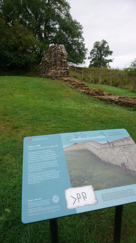
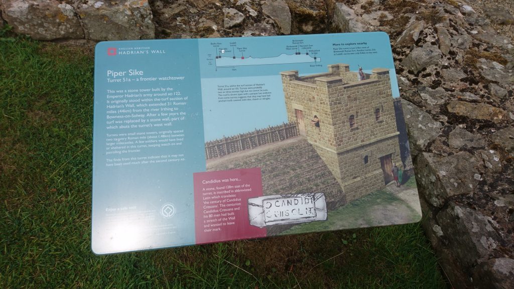
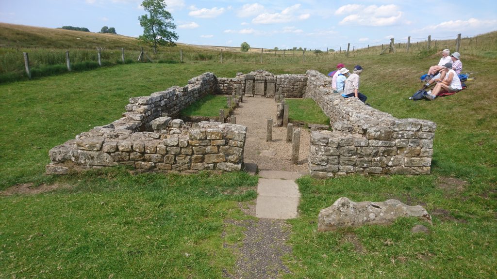
The information and illustrations paint a vivid image of what it was like to be a Roman soldier working there. Visitors are really taken back in time and given a sense of the magnitude of the building process. This is an impression shared by both of us hikers. The signs and exhibitions also gave an insight into the cultural melting pot that was the Roman army. The Mithras temple is an excellent example of this. Mithras was a deity that was worshipped in the Roman army, and later gave way to Christianity.
In addition to shedding light on life at the Wall, you are also presented with information about what happened to the Wall after the Romans left, how it was used as building material and the ‘rediscovery’ of the Wall in modern times. This gives a sense of continuity and links to the past that are very valuable. On many archaeological sites, the archaeological record is seen as completely distinct from the present.
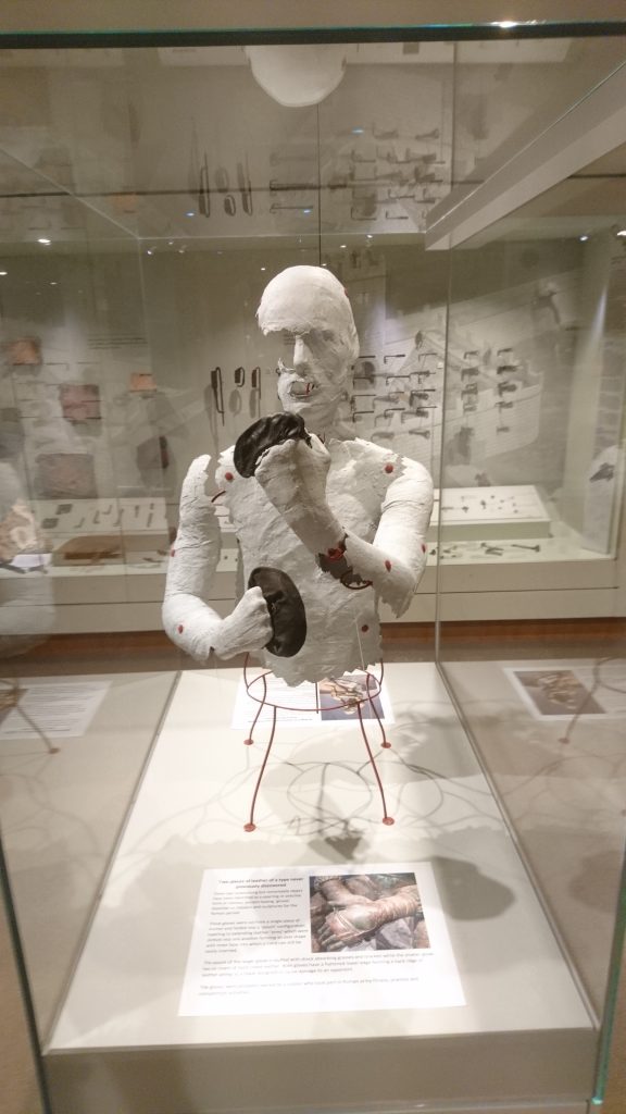
The Vindolanda museum in particular has done an amazing job bringing Roman Britain to life, with its display of artefacts, such as the Vindolanda writing tablets, in combination with video installations and models of how objects would have been used. The exhibition takes particular care not only to display the show-stoppers, but also to display artefacts showing everyday life. The Vindolanda museum also included displays of life as an archaeologist, including an ‘evidence room’.
Excavations on site are still ongoing, and all visitors can visit the excavation and get information from the archaeologists on site. On the grounds, one can see a reconstructed Roman tower of timber and stone, to see how well the towers would have kept. This was a refreshing angle that gave a sense of the grandeur of the constructions.

All in all, Hadrian’s Wall is very accessible. Both in terms in how it is communicated and how to get there. A shuttle bus continuosly services the major sites, museums and Wall sections, meaning that everyone can get there. Plenty of reading material and maps are available, so you can explore the Wall at your own leisure.
The history of the Wall was mostly seen from a Roman perspective. I did wonder if the signs would have been different had they been written from a native ‘British’ perspective. Just imagine if some strangers built a wall through your field?
One thing I did miss was more information about the other parts of the construction that comprised the Wall. Although some signs mentioned the ditch running alongside the Wall. It would have been even more impressive if more than the actual wall was maintained and signposted. In some fields it was possible to discern the ditch and other earthworks – these should have been marked with signs of their own. This notion was not shared by the non-heritage hiker.
Explore Hadrian’s Wall for yourself:
https://hadrianswallcountry.co.uk/
https://www.english-heritage.org.uk/visit/places/hadrians-wall/
Linn Marie Krogsrud is a Norwegian archaeologist. She works as a heritage advisor for Buskerud County Municipality and is a member of ArchaeologistsEngage.